LiDAR identifies lost settlements in the forests of Campeche [View all]
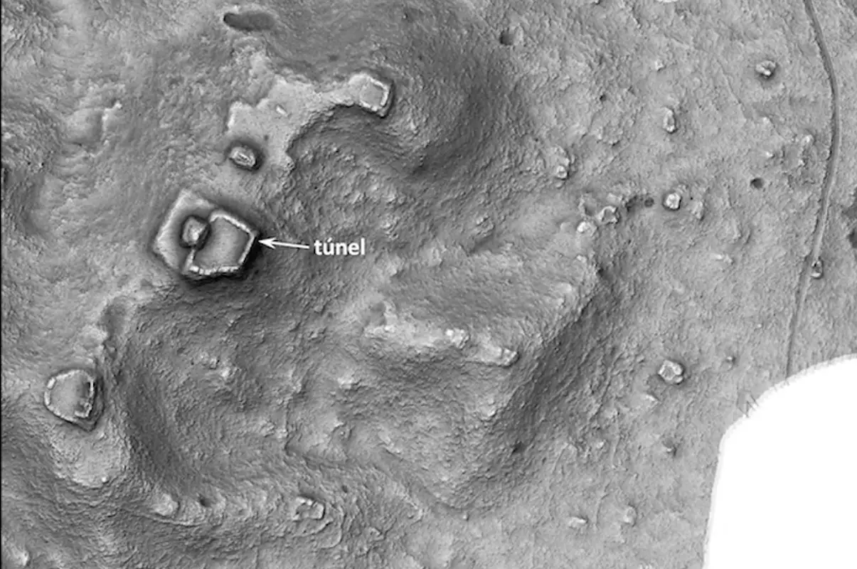
Image Credit : Žiga Kokalj
By:
Mark Milligan
Date:
June 24, 2024
Archaeologists from the National Institute of Anthropology and History (INAH) have identified ancient settlements in the forests of Campeche using LiDAR.
Light Detection and Ranging (LiDAR), is a method of remote sensing using light in the form of a pulsed laser to measure ranges (variable distances) to the Earth. The differences in the laser return times and wavelengths can be used to compile a 3-D digital map of the landscape.
A physical exploration of the sites has shown there to be very few standing walls or architectural decoration, with preliminary dating suggesting that the settlements date from the Late and Terminal Classic periods (AD 600-1000).
Despite the lack of any major urban centres, the LiDAR survey has identified evidence of levelling, a plaza, and a pyramidal construction in a settlement first discovered during the 1990’s (header image). Outside this complex, near its northeast corner, a canal was also observed in the survey that drained the water accumulated in the plaza.
Another site investigated in the survey is a civic-ceremonial centre with buildings that stand up to 13 metres in height. In the eastern sector of this settlement is evidence of a ball court and a substructure possibly from the Early Classic period (AD 200-600).
https://www.heritagedaily.com/2024/06/lidar-identifies-lost-settlements-in-the-forests-of-campeche/152429
 = new reply since forum marked as read