The hurricane cone graphic is changing this year. Here's why experts say it's needed
Published 9:52 AM EST, Thu January 25, 2024
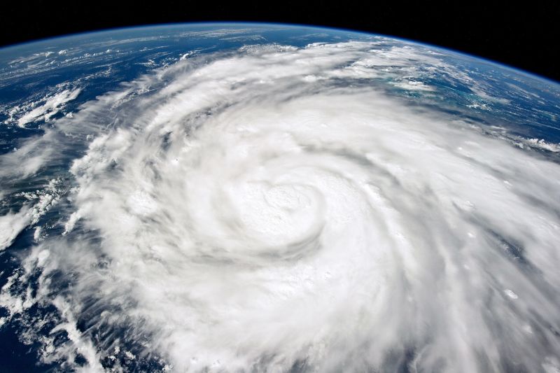
 In this NASA handout image taken from the International Space Station, Hurricane Ian moves through the Caribbean Sea on September 26, 2022 just south of Cuba
By Allison Chinchar, CNN
CNN
—
The iconic cone graphic used by the National Hurricane Center to depict the potential path of tropical systems will undergo a noticeable change for the upcoming hurricane season.
The cone will be deemphasized over land in the continental US, with more emphasis being placed on expected impacts by showing tropical storm and hurricane watches and warnings instead. This means you’ll see active tropical alerts instead of a cone where applicable over land.
Watches and warnings used to only be shown alongside the cone “in a line along the coastline of the affected area,” NHC director Michael Brennan told CNN. Now, the alerts are taking “precedence over the cone,” and “will be predominant on the graphic,” NHC spokesperson Maria Torres told CNN.
Watches and warnings used to only be shown alongside the cone “in a line along the coastline of the affected area,” NHC director Michael Brennan told CNN. Now, the alerts are taking “precedence over the cone,” and “will be predominant on the graphic,” NHC spokesperson Maria Torres told CNN.
Snip...
Much more at the link.
https://www.cnn.com/2024/01/25/weather/hurricane-cone-change-risk-perception-climate/index.html
 In this NASA handout image taken from the International Space Station, Hurricane Ian moves through the Caribbean Sea on September 26, 2022 just south of Cuba