Anthropology
Related: About this forumLidar reveals pre-Hispanic low-density urbanism in the Bolivian Amazon
Published: 25 May 2022
Heiko Prümers, Carla Jaimes Betancourt, José Iriarte, Mark Robinson & Martin Schaich
Published: 25 May 2022
Heiko Prümers, Carla Jaimes Betancourt, José Iriarte, Mark Robinson & Martin Schaich
Abstract
Archaeological remains of agrarian-based, low-density urbananism1,2,3 have been reported to exist beneath the tropical forests of Southeast Asia, Sri Lanka and Central America4,5,6. However, beyond some large interconnected settlements in southern Amazonia7,8,9, there has been no such evidence for pre-Hispanic Amazonia. Here we present lidar data of sites belonging to the Casarabe culture (around AD 500 to AD 1400)10,11,12,13 in the Llanos de Mojos savannah–forest mosaic, southwest Amazonia, revealing the presence of two remarkably large sites (147 ha and 315 ha) in a dense four-tiered settlement system. The Casarabe culture area, as far as known today, spans approximately 4,500 km2, with one of the large settlement sites controlling an area of approximately 500 km2. The civic-ceremonial architecture of these large settlement sites includes stepped platforms, on top of which lie U-shaped structures, rectangular platform mounds and conical pyramids (which are up to 22 m tall). The large settlement sites are surrounded by ranked concentric polygonal banks and represent central nodes that are connected to lower-ranked sites by straight, raised causeways that stretch over several kilometres. Massive water-management infrastructure, composed of canals and reservoirs, complete the settlement system in an anthropogenically modified landscape. Our results indicate that the Casarabe-culture settlement pattern represents a type of tropical low-density urbanism that has not previously been described in Amazonia.
Main
During the Late Holocene epoch, pre-Hispanic agriculturalists in the Llanos de Mojos, Bolivia, transformed the most-extensive, seasonally flooded, Amazonian savannahs (120,000 km2—roughly the size of England) into productive agricultural and aquacultural landscapes with an apparent diversity in sociopolitical organization, water-control systems and economic bases14,15,16,17. The southeast sector of the Llanos de Mojos (our study region) benefits from soils that have advantageous agricultural properties because of the deposition of a mid-Holocene sedimentary lobe that creates a slightly more elevated topography than the surrounding Llanos de Mojos, which in turn, provides base-rich, Andean-derived, well-drained soils18. The Casarabe culture developed here between around AD 500 and AD 1400, spreading over an area of 4,500 km2 (see ‘Chronology’ in the Supplementary Information, Supplementary Figs. 3–5 and Supplementary Tables 2–4). Previous remote-sensing and field-reconnaissance analyses have revealed the presence of 189 large monumental sites (locally known as ‘lomas’), 273 smaller sites and 957 km of canals and causeways10,19 (Supplementary Table 1). Excavations and bioarchaeology indicate that monumental sites were not unoccupied ceremonial centres but inhabited throughout the year by agriculturalists who cultivated a diversity of crops, with maize (Zea mays) as the primary staple10,11,12,20,21, and who met their protein needs by hunting22 and fishing23.
Despite these important advances in the archaeology of the Casarabe culture, until now, we knew the extent and details of mounded architecture only from less than a handful of isolated sites (Extended Data Figs. 5a, 7) because of the logistical difficulties of mapping sites in tropical forested settings. As a result, our understanding of the civic-ceremonial architecture of the major sites and the regional organization of the Casarabe-culture settlements has remained poorly understood. To remedy this situation, we conducted airborne laser mapping for six areas (10–85 km2) that have known concentrations of major settlements, totalling 204 km2 (Fig. 1).
Lidar (light detection and ranging) documented in detail the two large settlement sites and 24 smaller sites, of which only 15 were previously known to exist. The new data allowed us to define a four-tiered hierarchy classification of sites (Supplementary Table 5) on the basis of (1) the dimensions of human-made base platforms; (2) the elaboration of the civic-ceremonial architecture on top of them; (3) the presence, number and total area enclosed by the outermost polygonal enclosures (Figs. 2, 3 and Extended Data Figs. 1–4); (4) the number of constructed, straight causeways leading to the site (Fig. 3); and (5) the scale of investment in water-management infrastructure, including systems of canals and water reservoirs (see Supplementary Information for a detailed description of the architectural elements and a description of representative sites).
More:
https://www.nature.com/articles/s41586-022-04780-4
Judi Lynn
(164,040 posts)By Paw Mozter May 26, 2022 03:06 AM EDT
Several hundred communities dating from 500 to 1400 AD have long captivated archaeologists in Bolivia's Llanos de Mojos grassland. Researchers have now visualized the proportions of the biggest known Casarabe culture hamlet.
LIDAR mapping suggested that it is early urbanization with a high population density, which is the only known occurrence so far from the Amazon lowlands. The findings gave fresh information on how widespread and diversified early urban life was throughout the world, as well as how ancient cultures lived in the Amazon.
Pre-Hispanic cities in the past

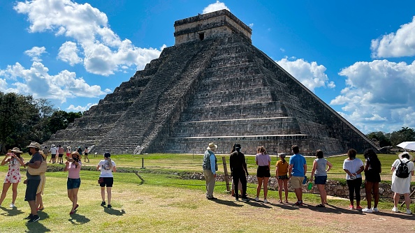
(Photo : DANIEL SLIM/AFP via Getty Images)
Dr. Heiko Prümers of the German Archaeological Institute and Prof. Dr. Carla Jaimes Betancourt of the University of Bonn, who was a student in La Paz at the time, began archaeological investigations on two "mounds" near the community of Casarabe in Bolivia more than 20 years ago.
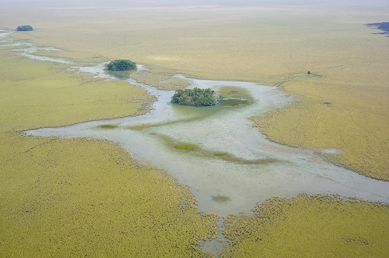
The Mojos Plains is located on the Amazon's southern rim. Even though the savannah plain, which floods several months a year during the rainy season, discourages permanent habitation, there are numerous apparent relics of the time before Spanish colonization in the early 16th century.
In addition to the "mounds," these traces mostly consisted of causeways and canals that frequently run in a dead straight line through the savannahs for kilometers.
More:
https://www.natureworldnews.com/articles/51019/20220526/archaeologists-use-lidar-laser-technology-uncover-pre-hispanic-towns-bolivia.htm
Judi Lynn
(164,040 posts)David Millward
13:58, May 28 2022

The urban centre of Cotoca. Researchers found several of these on forested mounds in the Bolivian Amazon Basin.
Researchers have revealed the massive scale of "lost cities" in Brazil’s Amazon rainforest and uncovered new details about the lives of the people who lived there.
The existence of centuries-old settlements constructed by the Casarabe tribe who lived in what is now Bolivia was already well known.
But the extent of the sites had not previously been realised, and details of how the tribe lived was shrouded in mystery.
The veil has been lifted thanks to an aerial survey using technology known as Lidar, which uses a pulse from a laser to collect measurements as well as creating maps and 3-D models.
More:
https://www.stuff.co.nz/science/300599997/scientists-stunned-as-vast-lost-cities-emerge-from-the-amazon-undergrowth
Judi Lynn
(164,040 posts)25 May 2022
Correction 26 May 2022
The urban centres are the first to be discovered in the region, challenging archaeological dogma.
Freda Kreier

Researchers uncovered ancient urban centres on forested mounds in the Bolivian Amazon Basin.Credit: Roland Seitre/Nature Picture Library
Mysterious mounds in the southwest corner of the Amazon Basin were once the site of ancient urban settlements, scientists have discovered. Using a remote-sensing technology to map the terrain from the air, they found that, starting about 1,500 years ago, ancient Amazonians built and lived in densely populated centres, featuring 22-metre-tall earthen pyramids, that were encircled by kilometres of elevated roadways.
The complexity of these settlements is “mind blowing”, says team member Heiko Prümers, an archaeologist at the German Archaeological Institute headquartered in Berlin.
“This is the first clear evidence that there were urban societies in this part of the Amazon Basin,” says Jonas Gregorio de Souza, an archaeologist at the Pompeu Fabra University in Barcelona, Spain. The study adds to a growing body of research indicating that the Amazon — long thought to have been pristine wilderness before the arrival of Europeans — was home to advanced societies well before that. The discovery was published on 25 May in Nature1.
A shift in thinking
Humans have lived in the Amazon Basin — a vast river-drainage system roughly the size of the continental United States — for around 10,000 years . Researchers thought that before the arrival of Europeans in the sixteenth century, all Amazonians lived in small, nomadic tribes that had little impact on the world around them. And although early European visitors described a landscape filled with towns and villages, later explorers were unable to find these sites.
More:
https://www.nature.com/articles/d41586-022-01458-9
Judi Lynn
(164,040 posts)MAY 27, 2022 1:06 PM
The settlement is in what is now Bolivia

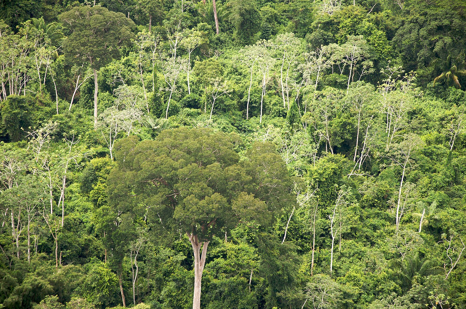
The forest in Bolivia can be a bit dense.
Sam Beebe, CC BY 2.0
BY TOBIAS CARROLL
Unearthing the archaeological history of certain regions is far easier than it is for others. When it comes to the Amazon rainforest, things are especially fraught — after all, the complex ecosystem makes it nearly impossible to do much in the way of digging or searching for evidence of a civilization buried just underground. Though, as a recent Smithsonian Magazine article notes, it hasn’t stopped many archaeologists from trying.
What do you do when you can’t explore from the ground? A paper recently published in Nature outlines one viable workaround — taking to the skies. The paper is titled “Lidar reveals pre-Hispanic low-density urbanism in the Bolivian Amazon,” which reveals the method used to explore this corner of history. Lidar uses lasers to uncover different areas from across a vast distance — making it an ideal choice for a situation like this, where investigating on the ground isn’t possible.
The authors of the Nature paper describe using lidar to locate “sites belonging to the Casarabe culture (around AD 500 to AD 1400) in the Llanos de Mojos savannah–forest mosaic, southwest Amazonia, revealing the presence of two remarkably large sites (147 ha and 315 ha) in a dense four-tiered settlement system.”
Among the features of these settlements are “stepped platforms, on top of which lie U-shaped structures, rectangular platform mounds and conical pyramids” and “[m]assive water-management infrastructure, composed of canals and reservoirs.”
More:
https://www.insidehook.com/daily_brief/history/scientists-lidar-amazon-city-bolivia-casarabe