Anthropology
Related: About this forumArchaeologists Have Found Prehistoric Rock Structures Under the Great Lakes. Here's What the Stones
Archaeologists Have Found Prehistoric Rock Structures Under the Great Lakes. Here's What the Stones Can Tell Us
A Doggerland of the Great Lakes? Underwater rock formations on the lakebed of Lake Michigan and Lake Huron may have been created by hunters thousands of years ago.
By Brianna RandallMarch 23, 2021 11:00 AM

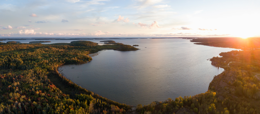
An aerial view of Lake Huron. (Credit: EdgarBullon/Shutterstock)
In 2007, underwater archeologist Mark Holley was scanning for shipwrecks on the bottom of Lake Michigan’s Grand Traverse Bay. Instead, he stumbled on a line of stones thought to be constructed by ancient humans — including one stone with what appeared to be a carving of a mastodon. The subsequent press conference generated excited headlines about a “Stonehenge-like structure” found under Lake Michigan.
But these sensationalized headlines are misleading: there’s no “henge” to the structure. The stones are small and arranged in a V-shape instead of a circle. Plus, the supposed-mastodon image hasn’t been analyzed to prove whether it’s a carving or a natural feature of the rock.
The real underwater stone sensation lies 120 feet below neighboring Lake Huron: an area the size of a football field with dozens of 9,000-year-old artifacts and human-built stone structures that comprise the most complex prehistoric hunting structure ever found beneath the Great Lakes.
“It’s a Pompeii-type situation. Everything is totally preserved in cold, clear freshwater. You don’t get that often in archaeology,” says John O’Shea, an anthropology professor at the University of Michigan, Ann Arbor, who has led the research on underwater sites in Lake Huron.
More:
https://www.discovermagazine.com/planet-earth/archaeologists-have-found-prehistoric-rock-structures-under-the-great-lakes
soothsayer
(38,601 posts)Karadeniz
(24,716 posts)dameatball
(7,649 posts)would not trade a week or month or year or two, at least, to experience what life was like.
niyad
(129,106 posts)2naSalit
(99,419 posts)I wonder if they are using Lidar to map the floor of the lake. They could find a lot of stuff that way.
Martin68
(26,829 posts)pansypoo53219
(22,820 posts)wnylib
(25,355 posts)lived on the southern edge of the glaciers as they moved eastward from their entry point into North America, for reasons pointed out in the article. The edges of glaciers were rich in meltwater streams, ponds, fish, plants, and game animals.
The region mentioned in the article, around Lake Huron, is also where the ancient Copper Culture of North America existed 9000+ years ago - oldest copper working site in the world.
I'm guessing that some other ancient archaeological sites probably exist where the edges of glaciers used to be, going horizontally, roughly west to east, across the US and Canada. Maps of the extent of those glaciers would point out where to look today. Some got flooded by glacial melt, like in the Great Lakes region. Others might still exist where glacial streams used to be, now dried up.
Pepsidog
(6,353 posts)during different ice ages and predicts the future.
VGNonly
(8,307 posts)When Lake Michigan/Huron were lower, a 100 foot waterfall adjacent to Mackinac Island existed.
PatrickforB
(15,319 posts)That Discover Magazine site is pretty cool, too.