Oldest-Known Amazon City Changes the Narrative on South American History
Isabella Thornton ByIsabella Thornton February 1, 2024
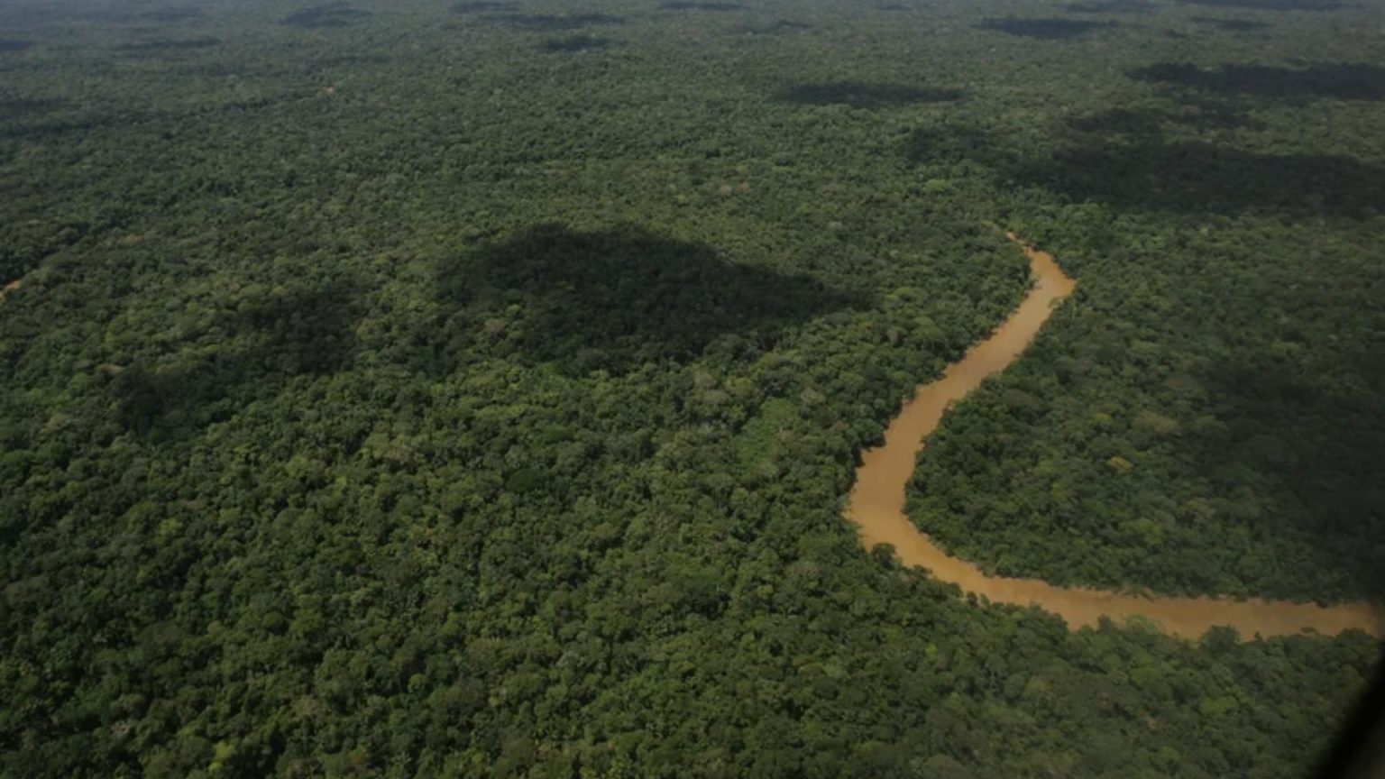
In the 1970s, Father Juan Botaso noticed some peculiar earthen mounds deep in the Amazon Rainforest in Ecuador’s Upano Valley. He pointed them out to a fellow priest, Pedro Porras, who was also an amateur archaeologist. Porras did a quick, rudimentary excavation and published a minor paper about the existence of the mounds.
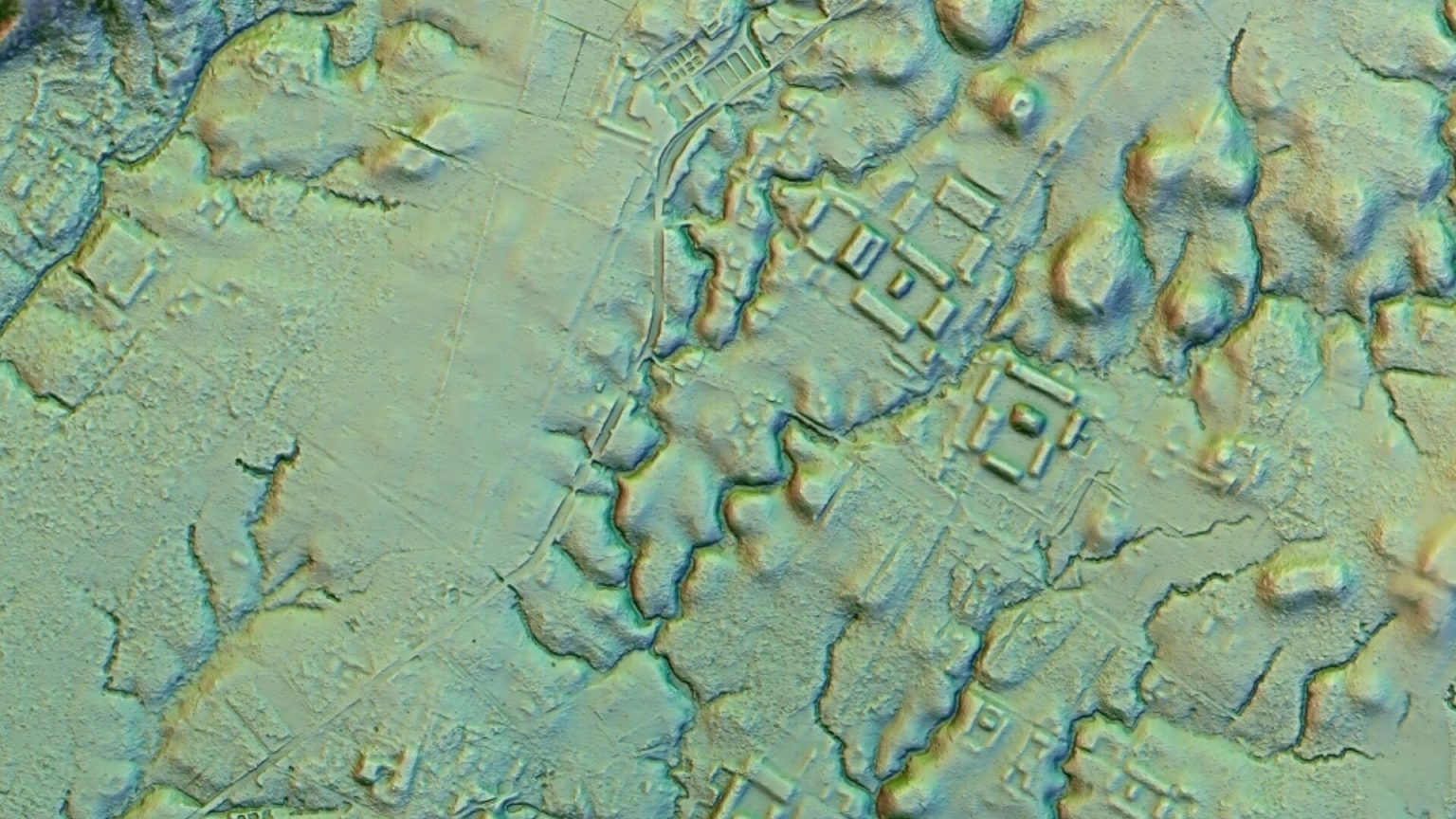
For the next several decades, few archaeologists gave this discovery any attention. An exception to this was French archaeologist Stephen Rostain who located hundreds of similar mounds. A recent laser scan, however, showed that Rostain’s finds were just the tip of the iceberg … and the discovery is changing the narrative on South American history.
Father Pedro Porras’ Lukewarm Reception
When Father Pedro Porras published his paper about the earthen mounds he found in the Upano Valley in the 1970s, the reception he got from his research was lukewarm. While researchers were fascinated by the stone ruins of the Incas and Mayans further north, the cultures of the Amazon Rainforest were viewed as being primitive.

Source: Dolores Ochoa/AP
Stephen Rostain, the director of investigations for the National Center for Scientific Research in France, believes that part of the blame for this can be attributed to racism and outdated colonial attitudes. He explains that the prevailing thought of the time was that “the Amazons are ‘savages’ incapable of building anything sophisticated.”
Laser Mapping the Upano Valley
Rostain started his archaeological work in Ecuador in 1996 and moved his excavation work to the Upano Valley in 2015. During his time there, he documented hundreds of mounds. Rostain explained, “There were huge earthworks made by Indigenous people.” He deemed the area worthy of extensive study … and the Ecuadorian government agreed.

Source: Stephen Rostain
In 2015, the country’s government commissioned a private company to do a Lidar scan of the Upano Valley. That laser imaging work, however, was backburnered several times. When it was finally completed, it revealed something truly remarkable and unexpected.
What Is Lidar Scanning?
According to the National Oceanic and Atmospheric Administration (or NOAA) website, LIDAR is an acronym for “light detection and ranging.” It is one of the latest tools researchers can use to remotely examine the Earth’s surface. Lidar is sometimes called “laser imaging” because this method uses the light from pulsing lasers to make its measurements.
More:
https://historyenhanced.com/oldest-known-amazon-city-changes-the-narrative-on-south-american-history/

