Washington
Related: About this forum'As the water recedes,' Snohomish County grapples with record flood

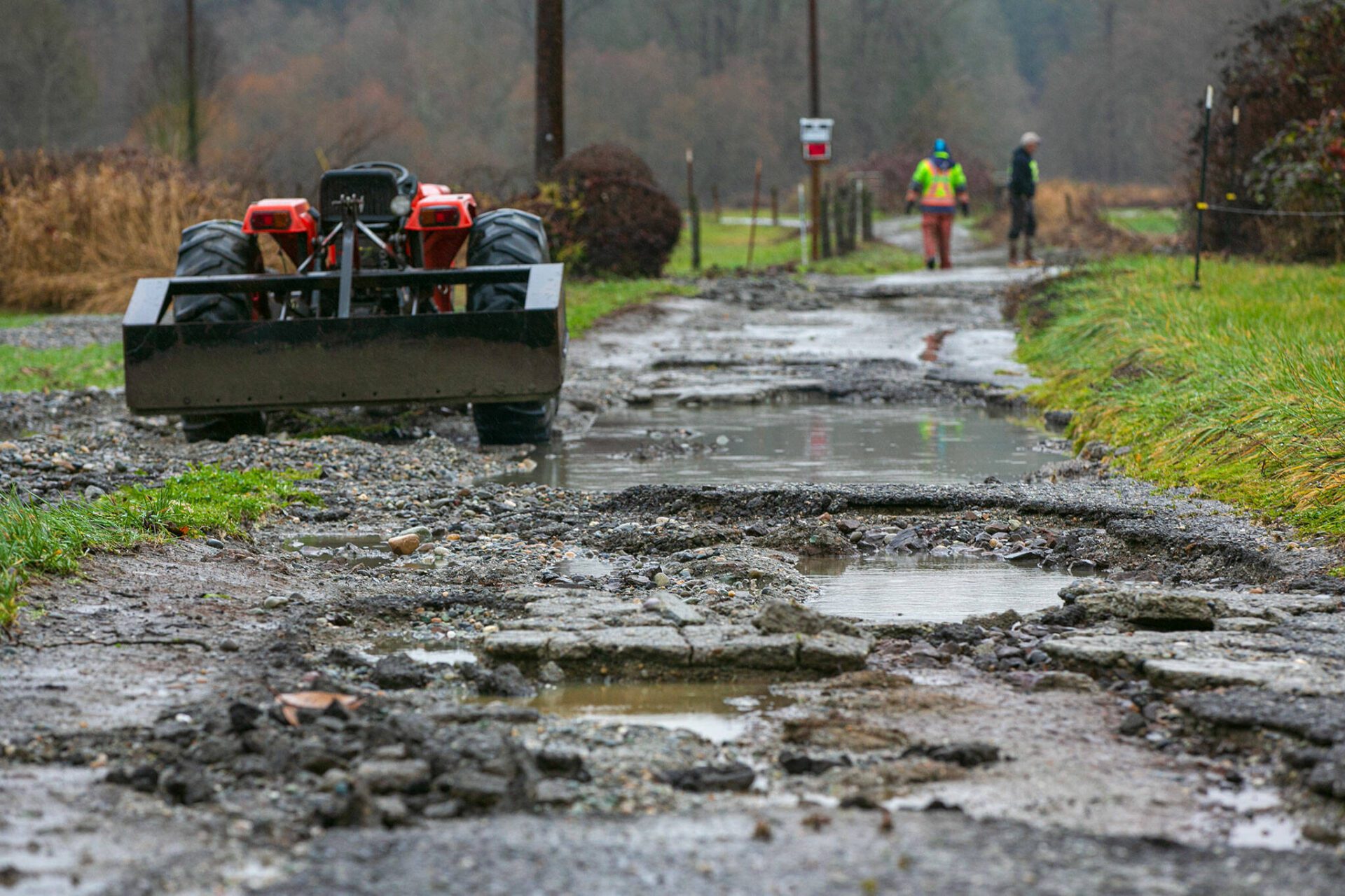
EVERETT — Snohomish County issued an emergency proclamation for the record flooding on the Stillaguamish River and elsewhere around the county.
The proclamation opens up “public funds to take reasonable and prudent measures ensuring the safety of residents and waives some administrative requirements in order to expedite response efforts,” according to a press release Thursday.
County Executive Dave Somers signed the declaration as communities at the mouth of the Stillaguamish remained flooded by a major storm.
Upriver, towns along Highway 530 and the Mountain Loop Highway saw 6 inches of rain. After reaching a record high water level around 1:20 p.m. Tuesday in Arlington, over 2 feet above a major flood stage, the river began receding.
https://www.heraldnet.com/news/snohomish-county-issues-emergency-proclamation-following-record-flood/
Why are Snohomish County rivers susceptible to flooding?
EVERETT — Washington is one of the most flood-prone states.
The U.S. Geological Survey has been monitoring streamflow on the north fork of the Stillaguamish River since 1928. And despite preparation investments and restoration efforts, floods continue to plague Western Washington.
-snip-
Quite simply, Western Washington’s location next to the Pacific Ocean and two mountain ranges, said National Weather Service hydrologist Brent Bower.
“When we get storms that come off of Canada, they’re much drier because they’re coming in over land,” said Bower. “The air going over the mountains really increases rainfall rates.”
https://www.heraldnet.com/news/why-are-snohomish-county-rivers-susceptible-to-flooding/
love_katz
(2,804 posts)Clear cutting removes the trees and the plants that form the understory. Their root systems and the soil that they create are the sponge that should retain most of the water. When the trees and the understory are removed, the soil microbes die, and the result is that the soil washes away. Increased tendency of watersheds to flood is the result. The Pacific Northwest has been a land of high rainfall since the end of the Ice Age. The rain forest evolved to cope with and thrive on the rain. Climate change also seems to be playing a part in the increasing flooding. We are getting storm events with much higher rates of rain per hour, too large for the landscape to absorb. The really sad part is that El Nino winters tend to end too early, with the result that we don't get enough mountain snow and rain in the valleys. Combine that with summers which are too hot and long and what we get is more wild fires. This mess is a reinforcing cycle and results in more catastrophic flooding. I think that we need to adopt the forest and land management practices of our local First Nations people in order to heal the damages that exploitative land practices and climate changes are bringing with increasing frequency.